Remote Sensing and Geospatial Information Technology

The everlasting charm of photographs

FIT 2025

Track 10: Remote Sensing and Geospatial Information Technology

Track Co-chair(s):
1. Jun Wang, The University of Iowa, USA
2. Man Sing Wong, The Hong Kong Polytechnic University, Hong Kong
3. Majid Nazeer, The Hong Kong Polytechnic University, Hong Kong
4. M. Farooq Iqbal Buzdar, COMSATS University Islamabad (CUI), Pakistan

FIT 2025

Remote Sensing and Geospatial Information Technology

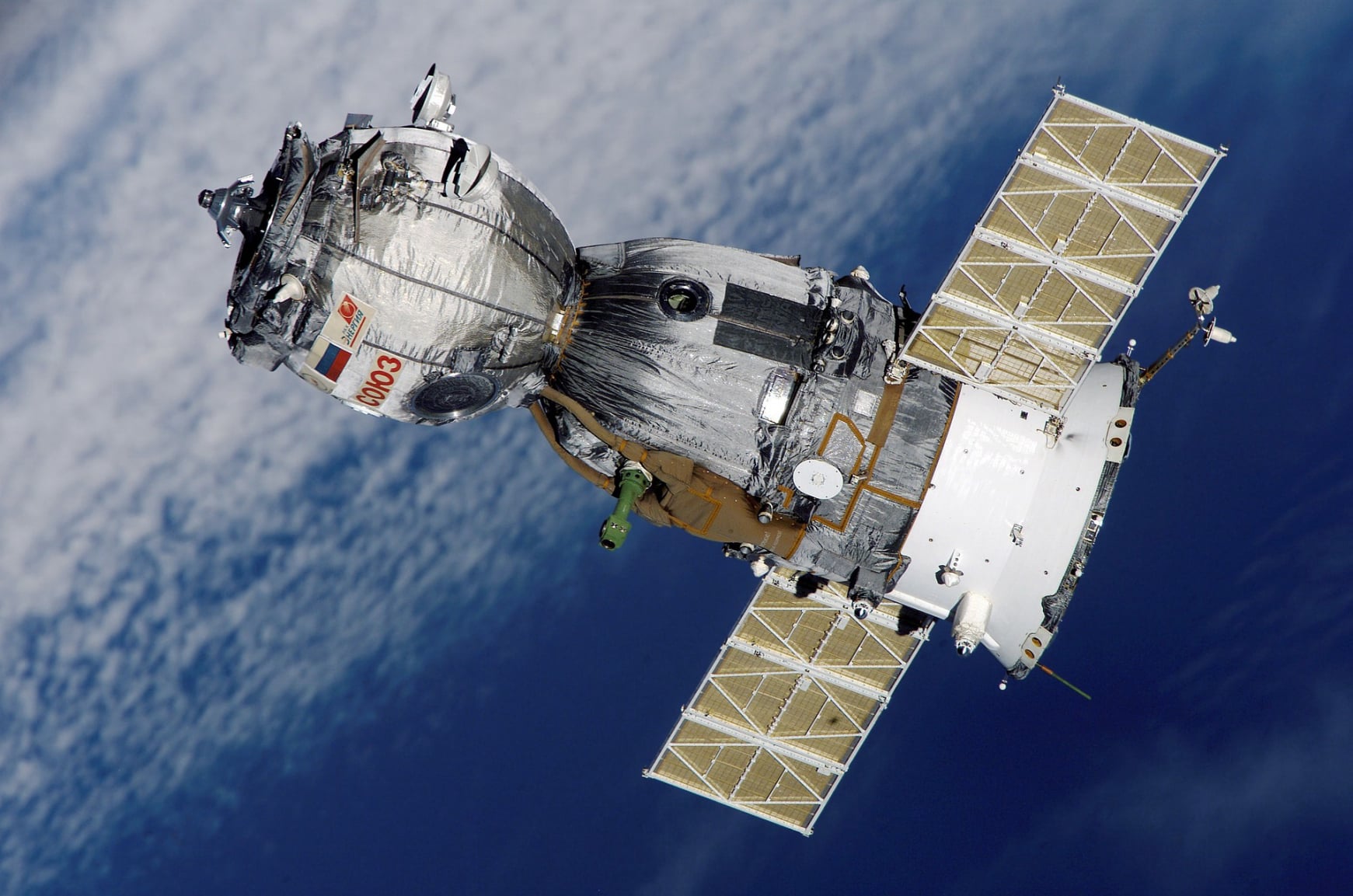
Remote sensing involves the acquisition of data about an object or phenomenon without physical contact. It uses devices such as satellites or aircraft to capture information about Earth's surface. Geographic Information Science (GIS) focuses on analyzing, interpreting, and visualizing spatial data to understand patterns and relationships. It involves the use of computer software to manage and analyze geographic data. Together, remote sensing and GIS play crucial roles in various fields including environmental monitoring, urban planning, and natural resource management.

AI Website Software